How Directional Drilling Works in Central Ohio Ground
The glacier's last line
Central Ohio's defining fact is an edge: the ice sheets flattened the metro's west and center into till plain — clay-rich, cooperative drilling ground with limestone bedrock at depths that mostly stay out of utility work — and stopped before the east, leaving the Appalachian Plateau's sandstone-and-shale hills unglaciated from Licking's eastern reaches through Hocking and Perry. The practical translation is two quoting grammars in one metro: till-side bores price production drilling with cobble honesty and outwash caution near the rivers; plateau-side bores price rock classes with tooling staged; and the boundary counties get the transition named reach by reach. Two-Ohios quoting is the local craft, and averaging them is the local mistake.
The corridor: utility work at fab scale
The New Albany corridor rewired the region's assumptions: the fab program and the data-campus belt brought utility programs — power, water, fiber — at scales the Midwest hadn't seen, and the ripple runs through everything: transmission crossings sized like highway projects, permit queues at record volume, and campus-precision expectations spreading to the whole corridor's work. For HDD, it's the home game: crossings without cutting new pavement, long runs down live arterials, diverse-path geometry at fence lines already pouring concrete. The corridor's tempo is a site condition, and schedules written for Central Ohio carry it.
The sequence, boundary edition
The bones are standard — locates plus private designating, potholes on every claimed utility, pilot on profile, ream to about one and a half times the product, pull, restore. Central Ohio bends: cobble response staged in the till and sandstone tooling east of the boundary, river-valley pits dewatered through the outwash, frost built into the surface schedule, stormwater controls held to Ohio's rules — at Big Darby seriousness where that watershed applies — and turf restoration held for the months that can actually grow it.
Who owns what you're crossing
Columbus and the ring cities run their own ROW processes; ten county engineers cover the rural map; ODOT permits the state system, the interstates, and the outerbelt. The Scioto system brings state floodplain and water-quality review, greenway stewardship, and reservoir rules upstream; the Big Darby watershed brings Ohio's strongest stream protections; railroads permit their corridors; and the fab-and-data campuses govern their own ground at corridor tempo. The quote names every owner on your alignment; each one is schedule.
Straight answers
Will you hit a boulder or rock on my bore?
Two different questions in this metro: in the till, the glacier's cobbles and occasional erratics are the planned encounter — response and economics stated in the quote; east of the boundary, the plateau's sandstone is the planned condition — priced as rock from the first line. The quote says which question your alignment is asking.
How deep do bores run under Central Ohio streets?
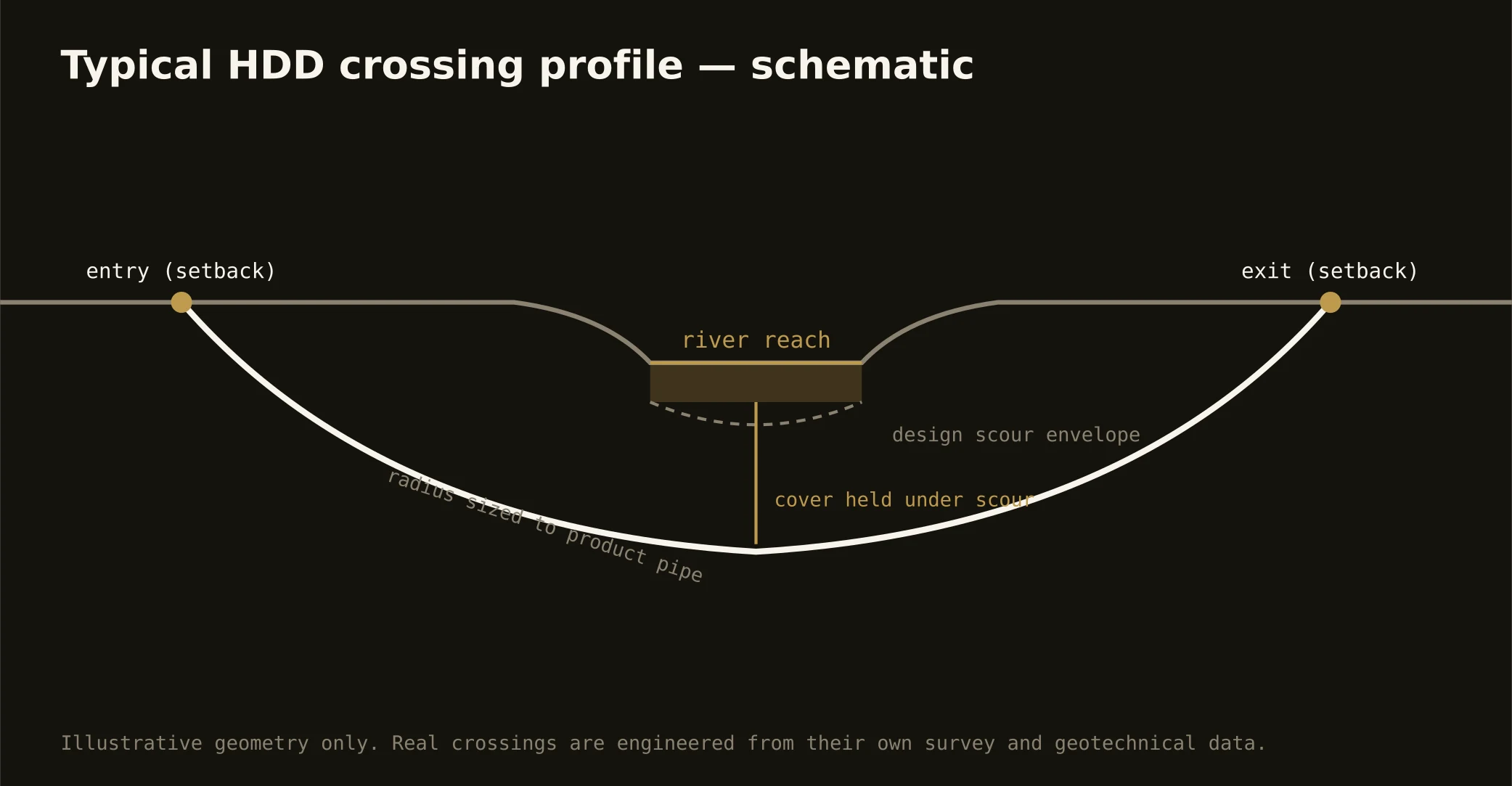
Cover follows the owning authority's standard and sits below everything potholed on the alignment; river crossings run deeper on the floodplain engineering, and plateau-side depths can pick the rock. The bore plan states your number — and your ground at it — before the rig moves.
When's the best season to drill here?
Late spring through fall runs smoothest on the surface side; winter work is routine with cold-weather management; early spring asks the most, when thaw and water tables lean on the pits together. The corridor's calendars don't wait on weather, so our plans are built for the season the milestone lands in — and quoted that way.
Ready to put a number on a real crossing? Send the scope — a person prices it.